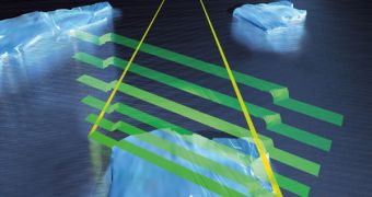
As we were telling you a few days ago, the European Space Agency (ESA) is set to launch the most advanced satellite aimed at surveying ice sheets ever deployed. The CryoSat instrument will provide in-depth measurements of slight variations in the thickness of ice sheets on the land it covers, which will allow scientists to gain a better understanding of how global warming and climate change act. However, it would appear that experts will have to wait a little while longer. Engineers working for the space agency have found a glitch in the rocket that was supposed to carry the satellite to orbit.
“The launch of ESA's CryoSat-2 satellite from the Baikonur Cosmodrome in Kazakhstan, scheduled for 25 February, has been delayed due to a concern related to the second stage steering engine of the Dnepr launcher. Although the fuel supply of the second stage engine should be sufficient to get CryoSat into orbit, the fuel reserve is not as large as they would like it to be, according to the Ukrainian company Yuzhnoye, who developed and is responsible for the launcher. The situation is being reviewed, and measures will be taken to resolve this concern,” ESA announces on its official website.
A replacement launch data has not been announced yet. The space agency says there is nothing that it can do in establishing a new take-off time, and adds that the launch provider, Kosmotras, will alert it about the earliest window for launch. The satellite is to be launched into a highly inclined polar orbit, at an altitude of about 700 kilometers from the planet's surface. This type of orbits is excellent for such observations, and the satellite will have some fairly interesting, and also top secret, neighbors. Polar orbits are widely used for spy satellites.
“The 700 kg CryoSat spacecraft – whose name comes from the Greek kruos meaning icy cold – carries the first all-weather microwave radar altimeter. The instrument has been optimized for determining changes in the thickness of both floating sea ice, which can be up to several meters, and polar land ice sheets, which in Antarctica can be up to five kilometers. The mission will deliver data on the rate of change of the ice thickness accurate to within one centimeter,” ESA officials said earlier this week.

 14 DAY TRIAL //