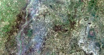
According to the conclusions of a new survey undertaken by experts at the United States Geological Survey (USGS), data collected by the incredibly-popular Landsat constellation are being used by nearly everyone involved with Earth sciences, agriculture or geology.
The poll was conducted so that scientists with the Survey, which developed and manages the spacecraft with NASA, could gage just how much of an impact the long-lived constellation has had on the world. The first Landsat vehicle launched in Earth's orbit in 1972.
The survey covered around 11,000 users who accessed Landsat images stored on servers at the USGS Earth Resources Observation and Science (EROS) Center, in Sioux Falls, South Dakota. This constellation was originally developed to keep track of changing ground and resource usage patterns.
“The value of Landsat's unique 40-year archive of Earth imagery is incalculable. But with this study, we can begin to quantify the benefits of Landsat to the national economy and to its many users,” comments US Department of the Interior Assistant Secretary for Water and Science, Anne Castle.

 14 DAY TRIAL //