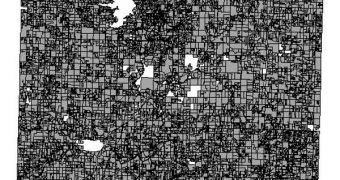
Researchers at the United States Department of Agriculture's (USDA) National Agricultural Statistics Service (NASS) recently announced the publication of a new set of geospatial data maps. The satellite images cover most swaths of arable land in the country, and are meant as guidelines to inform on future crops. All lands are used alternatively for producing various types of crops, and collecting this type of readings every ear can help farmers and authorities get a better idea on how to use the available land most efficiently, ScienceDaily reports.
In addition, experts say, these cropland data layers (CDL) can be used more effectively to keep track of land-use patterns, water consumption, carbon emissions, and natural changes. All of these pieces of information, once centralized, could lead to the creation of a strategy that would seek to maximize the yields of included land, regardless of its destination. The data could also be used in geographic information system (GIS) applications, the NASS reports. What makes these sets unique is the fact that the images they contain were taken specifically to service this need, from specialized satellites.
On top of the immediate practical applications for these maps, they could also be used for a variety of governmental and academic purposes, such as studying pesticide risk on previous crops, epidemiology patterns, transportation, fertilizer usage and consequences, carbon-dioxide flow through the land, as well as other scientific topics. This multi-lateral approach could have the ultimate result of devising the optimum plan for arable land in the United States.
All images made available by the USDA were collected by the Resourcesat-1 Advanced Wide Field Sensor (AwiFS) instrument, aboard the NASA Landsat Thematic Mapper and Moderate Resolution Imaging Spectroradiometer (MODIS) satellite. The NASS announces that the CDL data are available for 47 of the 48 states in the continental US at this point, and adds that the metadata for Florida will be made available alter this spring, as certified farm data for this state become available. All data sets are public, and can be viewed here.

 14 DAY TRIAL //