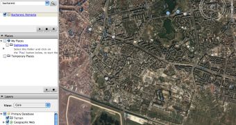
A US spy agency recently announced that several programs showing high-detailed imagery with most of the country's locations might be banned soon. This kind of program also includes Google Earth, the application powered by the Mountain View company that helps users view maps and satellite pictures straight from their desktop. According to the report, the government might ban the distribution of the photos because some detailed pictures were used to kill Americans.
"If there was a situation where any imagery products were being used by adversaries to kill Americans, I think we should act," Vice Adm. Robert Murrett, director of the National Geospatial-Intelligence Agency, said according to KomoTV. In the past, there were several cases reported when Google Earth was used with a different goal than viewing maps and imagery. For example, the downloadable application was used by terrorists to organize attacks against the UK troops located in Basra. At that time, the search giant replaced the photos with older ones captured before the departure of the army in the area.
However, it's obvious that some people might take the Google Earth photos for malicious use and the authorities must do something to stop the threats. "I could certainly foresee circumstances in which we would not want imagery to be openly disseminated of a sensitive site of any type, whether it is here or overseas," Robert Murrett added.
Today, Google quietly released a new version of Google Earth that is meant to be even more powerful than ever, offering some innovative functions for its users. Take the example of the interoperability with Google Maps that helps users view the same location from Google Earth straight into the web-based interface provided by the online solution.

 14 DAY TRIAL //