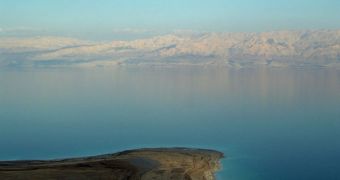
Israel and Jordan are currently the two states that share borders with the Dead Sea, and the coastlines of both nations are heavily dependent upon the amount of water they can extract from the inland lake, which is the lowest ground point in the world, located well below sea levels. The main problem with the stretch of water is not global warming or climate change, as one may expect, but rather the massive consumption levels recorded over the past three decades. Since the 1980s, water levels have constantly dropped, and now the amount of water in the sea is critically low.
According to Shahrazad Abu Ghazleh, a researcher at the University of Technology in Darmstadt, Germany, long-term solutions, such as the construction of the Dead Sea-Red Sea Channel, or the Mediterranean-Dead Sea Channel, may come too late for the Dead Sea. The measurements he has made place the volume of lost water from the lake at about 14 cubic kilometers over the past 30 years, an occurrence that has triggered numerous side-effects for the nearby regions.
For one, it is becoming increasingly difficult to produce electrical energy in the area, and the costs of extracting water to fuel factories and potash cultures on both sides of the Dead Sea are rising almost daily. In addition, the receding of the waters has caused numerous geological features to form, creating a landscape that is treacherous for the occasional passer-by. Also, the large amounts of salt that have been left exposed when the water disappeared now affect civil constructions and various other structures, and make it difficult for tourists to use the place for medicinal purposes.
Scientists first figured out that the water levels in the Dead Sea were dropping by using Differential Global Positioning System (DGPS) field surveys, which allowed them to place markers on the shores of the lake at various time intervals. The height of the markers, as calculated in opposition to the average global sea levels, was measured periodically. Thus, by comparing the distance between two markers, the German team has managed to create a model depicting how the inland sea is losing water, as well as to estimate the quantities it has already lost.

 14 DAY TRIAL //