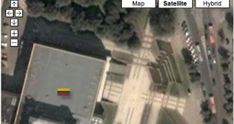
Google included a new set of improvements in Maps, the online service that allows users to view satellite imagery straight from a web-based interface. Among other countries, Russia, Turkey, Taiwan and Greece are now offering some high-resolution photos with their streets captured straight from satellites. The pack of updates was first released last week but it was now improved with API capabilities, meaning that the developers are able to create interesting mashups using the features offered by Google Maps.
"The tile update went through to the Maps API tiles shortly after, so now Maps API developers can develop mashups to take advantage of the updated tiles. If you want a quick way to look around the updated imagery, click on the country flags below and you'll be zoomed in to that country," Pamela Fox, Maps API Team, sustained today.
In the recent period, Google struggled to create more accessible services by making them compatible with any type of user. The best example is represented by the developing applications that allow clients to build their own version of the solution, based on one of the products powered by the Mountain View company. As you might know, Google is also hosting the Developer Day on May 31, a conference that will bring together the developers from every corner of the world, helping them find new information about the search giant's solutions.
Google's Developer Day is somehow similar to Apple's Worldwide Developers Conference, an event where new products and solutions developed by the company are usually presented. The Mountain View company didn't mention if it is preparing a new service, but the developing tools are continuously released without any special occasion.

 14 DAY TRIAL //