 14 DAY TRIAL //
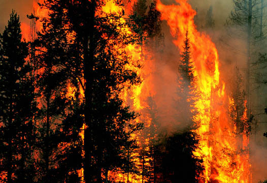
 Following the recent damages caused by the South California fires, the Mountain View company decided to help the authorities and designed a special Google Earth layer containing high-resolution photos with the area in order to show all the details that can be discovered from the satellite. The Google Earth content is available through a special layer and was built with the help of DigitalGlobe, the company which brings detailed photos for the downloadable mapping technology. According to Wei Luo, Senior GIS Specialist, NASA also contributed with fire perimeters and other details which helped the Mountain View company build the layer and release the California imagery.
"As the fires in Southern California continue to spread, our data providers have gathered updated imagery of the affected areas. We are making this imagery taken on October 22nd available as a Google Earth overlay, and will continue to update the imagery as it becomes available. Our thoughts are with the communities displaced by this tragedy", the official mentioned above.
"Thanks to NASA and the US Forest Service, overlays of the fire perimeters and thermal infrared imagery, both captured today, are now viewable in Google Earth."
This is not the first time when the super giant Google helps the authorities fight against a natural tragedy. A long time ago, Google was involved in a serious dispute with the New Orleans authorities because the Mountain View company built a special layer with high-resolution photos of the area, and which was available for a limited period of time. The officials sustained Google tried to censor the damages of the hurricane, while the search giant's officials defended the company by pointing to the pack of imagery published on the Google page.
If you want to try the new South California imagery, download this layer and import it into your Google Earth application.