14 DAY TRIAL //
 Once in a while, Google updates Maps with detailed imagery recently captured from the satellites to provide more information about a certain location. It seems like a new update was designed by Google because new high-resolution photos were discovered on the map service. Googlified reported that new images are now available on Google Maps although it might look like a test started by the company. As you can see if you click on this link, it is only a test started by the company because the entire location contains Google watermarks while the surrounded territory in unavailable.
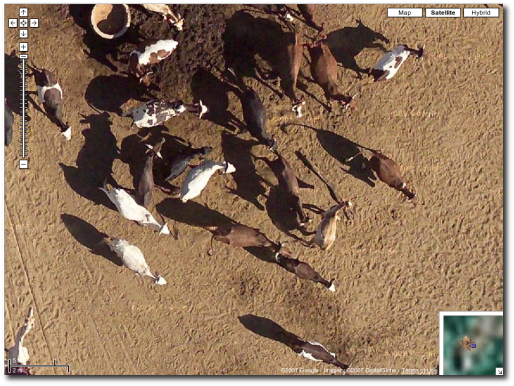
"Frank Fuchs spotted some super high resolution satellite imageries on Google Maps, which you can clearing see a man's face looking up the sky (the camera, perhaps?). Normally you can only get up to level 19 when using the zoom-in bar, but doing a little URL trick, Frank was able to see even more! These images are, way way better the ones that Google took on the Australia Day," Googlified reported.
In the past, Google had another attempt to capture high-resolution photos but it was quite an embarrassing moment for the search giant. Let me present the short story: the company planned to celebrate the Australian Day and the release of Google Maps Australia by announcing a campaign to capture high resolution photos with Sydney using an airplane equipped with professional tools. Although many residents prepared for the big event with banners, Google didn't show up because the company didn't receive the approval to fly at a 600m altitude. Even if the flight was canceled, the search giant announced a few weeks ago that Maps Australia was improved with detailed imagery.