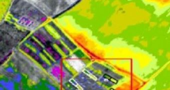
Scientists at the Tel Aviv University have recently developed a new method of keeping an eye out for natural disasters, and of anticipating them as much as possible. Their technique relies on using sensors in the Earth's orbit, and also on combining this data with information collected from sensors on the ground and in the air. Together, these observations create a “Hyperspectral Remote Sensor” (HRS), which is capable of, for example, giving advanced notice of water contamination in a certain area, or alerting authorities about potential dangerous spills in the environment.
Additionally, an HRS is also able to offer forewarning as to where the next hurricane will strike, which makes it a potential tool in saving thousands of lives, and billions of dollars in property damage. According to its creators, the new surveillance system is a combination of knowledge from a wide array of scientific fields, including physics, chemistry and optics.
“When a devastating forest fire hits the Hollywood Hills, for example, we can see from space how the mineralogy of the soil has changed. Because of these changes, the next rainstorm may wash out all the buildings or leach contaminants into the soil. With our new tool, we can advise on how to contain the pollutants after the fire, and warn if there is a risk for landslides,” Tel Aviv University Department of Geography Professor Eyal Ben-Dor says. He is the leader of the science team behind this project.
Details of the new proposed system have been recently published in a number of leading scientific journals, including the Soil Science Society of American Journals, the Soil Science Journal, and the International Journal of Remote Sensing. “Water is an expensive commodity today. Knowing how to better manage water resources is a top priority for states like California, and our new tool could help them do that,” the expert adds.
“Our space sensors combined with ground measurements and GPS data will be able to detect and map hydrocarbon contamination in real time. Within a year, we'll be able to identify these problematic areas far more quickly than with traditional methods,” he concludes.

 14 DAY TRIAL //