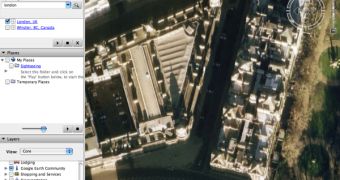
The downloadable application Google Earth received a major update for its imagery as several locations included in the program are now offering high-resolutions pictures. First, it seemed like Google updated only the UK but there is an impressive amount of photos for numerous locations all over the world. As it is mentioned in a Google Earth post, several areas from Canada, England, Germany, France, Spain, US, Japan and Austria were improved with high-resolution imagery for most of their cities. Additionally, the parent company Google updated the photos already available for Columbia, Ireland, Beirut, Libya, Hong Kong and Philippines.
"Large Digital Globe (60cm) update includes areas in Sudan, expanded Africa, Australia, Mexico coverage and smaller areas of coverage in Asia, Polynesia, South America, Canada, Europe, Middle East plus some interesting islands in Antarctica and Greenland," it is also mentioned.
Recently, the Mountain View company quietly introduced a new version of Google Earth, 4.1 beta that brings some innovative features and interoperability with other search giant's solution. For example, this latest version of the downloadable program brings compatibility with Google Maps, allowing users to view a certain location from Google Earth straight into their browser.
"Google has just released new imagery for Google Earth (exit GE and re-load it if you had it turned on over night). Most of the UK is now in high resolution. It appears there are many new strips of Digital Globe satellite photography in many parts of the world. By the way, you can use the new handy "Google Maps" button in GE 4.1 to compare the new imagery in Google Earth. It hasn't been pushed to Google Maps yet," the Google Earth Blog sustained today.
If you want to download Google Earth, you can take it straight from Softpedia, using this link.

 14 DAY TRIAL //