Google Maps is an innovative service provided by Google that allows you to view maps captured from the satellites as well as other images from all around the world. It is accessible for free via the official website of the service and it provides you detailed imagery of many world locations.
The search giant also owns another similar product, Google Earth that is a downloadable application meant to offer you the same functions as the Google Maps service. Both solutions were updated periodically, Google adding more functions and more detailed maps.
Google Maps is currently challenged by one of its powerful rivals, Yahoo that developed Yahoo Maps, an interesting service that can offer interesting views of maps captured from satellites.
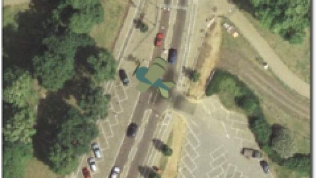
Because the rivalry is big enough to make the two companies improve the services very often, it seems like Google users are now trying to increase the functionality of Google Maps. Mark Caswell-Daniels created an interesting game based on this service that allows you to fly over a specific location and observe the elements as well as in Google Maps. The simulator is based on Flash and is currently in beta stages but the developer hopes to improve it soon.
The game was recently updated with new features: "added a preloader, and a map preloader so that the first map tiles are now loaded in before the game starts. Added more US locations on request, as well as planet Mars and The Moon. Loads of Dutch and German visitors, so I added Amsterdam and Berlin. Solved memory issues too, so you can fly for longer," the author mentioned.
If you want to test this interesting flight simulator, you can see this link or even customize the game with your own location by click on this webpage.

 14 DAY TRIAL //
