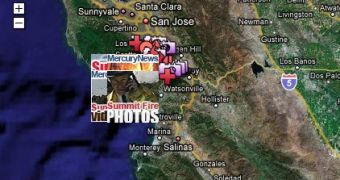
Google Earth provides support, yet again, for victims of another disaster that struck in the United States this time, in Santa Cruz Mountains. This time around, the disaster came in the form of a large fire, the likes of which Santa Cruz Mountains has never seen before. It appears that the area was full of flammable items such as downed trees and leaf litter, which accumulated over the years and provided the fire with enough fuel to extend at blinding speed.
The local Mercury News newspaper has created a "My Map," displaying information about how the search rescue is going and how far the fire has spread so far. The maps should serve as support to those living in the vicinity of the wildfire in Santa Cruz Mountains. On the map, users can see a graphical estimation of the area affected by the fire, as well as live video and user-submitted photos, showing the extent of the flaming disaster. The map also includes geo-located news, providing information on the Santa Cruz disaster.
As mentioned above, the fire is the worst in the history of Santa Cruz, with approximately 350 residents being forced to evacuate and another 1.400 asked to leave their homes voluntarily. At this point, there are no reports of people being injured. The local firefighters have worked overnight to try to contain this fire, which is said to have already consumed 3.400 acre of swath. Up to this point, the rescue appears to be going very well, and even the weather is on the firefighters' side. Unfortunately, it seems that no current of air blew to help, or which could be used by firefighters in their efforts to extinguish the large fire.
Over the last month, Google has provided support to a number of causes. By accessing Google Earth, users have been able to view satellite imagery of the affected areas in Myanmar and Sichuan.

 14 DAY TRIAL //