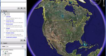
Just like Softpedia, Google Earth seems to an application supposed to be constantly updated and, since the 4.3 version was release, the "Updated one minute ago!" motto may fit Google Earth, too. According to Cris Castello, GIS Data Engineer, the Mountain View-based company has struggled to integrate more and more dynamic data in Google Earth, in a move meant to provide new content every time the user opened the application. Just imagine how great it would be to open Google Earth and see one minute ago photos with a certain street or avenue...
A few weeks ago, Google announced a deal with The New York times which brought fresh news subjects into Google Earth, helping the users of the downloadable application to view the news subjects related to a certain location. Besides the news, there are several other types of dynamic data included in Google Earth and more to come as the company's representatives explain.
"We've done several dynamic things already: traffic, weather, news courtesy of the New York Times, and YouTube. But don't wait for us to create more dynamic data - we've always believed that the greatest content is created by our users. Through the magic of Network Links in KML, any dataset can be set to auto-update at whatever interval is appropriate. The KML Gallery has several great examples, such as real-time earthquakes and current air quality," Cris Costello stated in a blog post published on Friday.
Google Earth 4.3 was released one week ago and came with multiple major new functions, including here Street View, day/night effect and an impressive imagery update which now provides coverage for many previously unsupported areas.
In case you haven't tested this latest release of Google Earth, you can take it straight from Softpedia for free, using the following link.

 14 DAY TRIAL //