14 DAY TRIAL //
 It's so common place now that it’s hard to imagine what it was like before Google Maps and Google Earth burst onto the scene. Being able to view any corner of the Earth in detail from your desk doesn't sound that impressive, but it was somewhat of a pipe dream even 20 years ago. No point wallowing in the past though, now that we can visit the Great Wall and the Pyramids or maybe take a peek at our neighbor's backyard, we're not content with being able to see his pool, we want to see who's swimming in it.
And Google is happy to oblige, in a sense, no it hasn't turned Google Earth into James Bond wannabe's fantasy spy tool, it has enough problems with Street View as it is. But it has been adding higher-resolution imagery to Maps and Earth courtesy of all the photos coming its way from the world's busiest photographer, or at least the highest up, otherwise known as the GeoEye-1 satellite.
GeoEye-1, which "is capable of collecting hundreds of thousands of square kilometers of imagery every day," by Google's own account, has been sending Google a steady stream of high-resolution photos but it takes time, a lot of time actually, to process them so most of them still haven't landed in Google Maps.
However, for the ones that are available, Google has now created a dedicated layer in Google Earth to highlight some of the most interesting locations photographed by GeoEye-1, but which haven't yet been made available in either Maps or Earth.
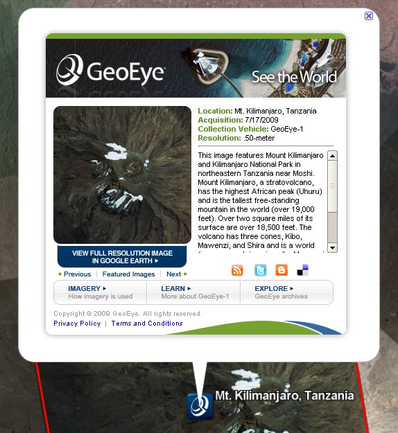
"To highlight some of these broadly-interesting GeoEye-1 images before they can be fully integrated into Maps and Earth, we're excited to announce the new 'GeoEye Featured Imagery' layer in Google Earth. Included within this layer are 20-30 Featured Imagery placemarks, including a thumbnail of the image, a link to view the image in full-resolution, and a wealth of information about the scene, including resolution, collection date, and a narrative about the location," Pete Giencke, GIS data engineer, and Dylan Lorimer, strategic partner manager, wrote.
The new layer is available now in Google Earth in the "More" folder but is also available as a separate download. As Google described the feature, it places markers in the highlighted locations and also describes the location and the image itself. In time, more of the high-quality imagery will be available for everyone, but for now, you can enjoy some of the locations in advance thanks to the new features.