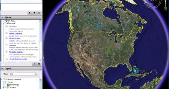
A University of Colorado student managed to create an interesting project based on Google Maps that allows researchers to track the spread of the avian flu as well as the affected areas and the damages. The product helps the users to view the evolution of the disease using real time data from Google Earth, the downloadable application powered by the search giant. As CBS reported, the new innovation will help authorities fight against the disease and stop it before it spreads in near locations. The avian flu is famous for its H5N1 form that killed an impressive number of residents from all over the world.
"It's not limited to the scientific community. My mother can go and look at what I've done. That's something that's interesting to everyone from a high school science class to my mom," said Andrew Hill, the CU student, according to the same source. "You can look at actual movements of different strains directly. You can get the mutations those strains carry," Professor Rob Guralnick added.
Google Maps and Google Earth, two of the most popular products developed by the search giant, were often used with other goals than the ones mentioned by the company. For example, Google Earth was also installed on numerous research computers to track the volcanoes' activity and the affected areas. However, the Maps service is even more popular and is often used to create mashups that will indirectly cause a new goal of the product. For example, some developers managed to design an interesting game based on Google Maps that allows the visitors to fly using a tiny plane over the locations included in the Google product.
If you want to download the latest version of Google Earth, you can take it straight from Softpedia using this link.

 14 DAY TRIAL //