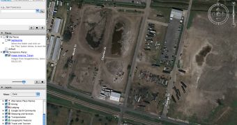
Last week, an interesting matter concerning Google Earth was spreading on the Internet after numerous New Orleans residents were accusing the search giant for removing Katrina images. According to the local authorities, Google removed all the photos showing damaged areas of the city just after Hurricane Katrina assaulted the city. Although there was no official statement from Google, the removal was obvious because both Google Earth and Google Maps displayed only pre-Katrina imagery. After the company was accused for removing the pictures and censorship, a Google employee decided to clarify the matter today, using a detailed blog post.
According to John Hanke, Director, Google Maps/Local/Earth, the search giant worked with NOAA and NASA to capture detailed images of the area to help people or authorities discover and rescue other residents of the city. Just after the company published detailed photos, the company received an impressive voicemail to thank Google for the help provided to rescue the victims.
"Given that the changes that affected New Orleans happened many months ago, we were a bit surprised by some of these recent comments. Nevertheless, we recognize the increasingly important role that imagery is coming to play in the public discourse, and so we're happy to say that we have been able to expedite the processing of recent (2006) aerial photography for the Gulf Coast area (already in process for an upcoming release) that is equal in resolution to the data it is replacing," the Google employee sustained.
The company created a separate page to share the Hurricane Katrina photographs captured with the help of other organizations and made them available for download for Google Earth or accessible online through Google Maps. If you want to view the Katrina imagery, you can visit the separate page designed by Google, available on this link.

 14 DAY TRIAL //