Google finally confirmed the acquisition of ImageAmerica, a high resolution camera producer that can support the Mountain View company's efforts to bring more detailed imagery to its mapping tools. The financial terms of the deal were not disclosed but Stephen Chau, Product Manager at Google, who underlined the main goal of the acquisition: to help the two mapping solutions, Earth and Maps, and bring new high-resolution photographs to them. If you didn't know, ImageAmerica already worked with Google when the Mountain View company created new imagery showing the Katrina hurricane.
As you might have heard, the Katrina hurricane imagery brought Google into trouble because the Mountain View company allowed users to view it only for a limited period of time. Just after the imagery was removed, the local authorities accused Google of refusing to show the truth and censoring the damages of the assault.
"I'm pleased to announce that we have acquired ImageAmerica, a company that builds high resolution cameras for the collection of aerial imagery. We're excited about how ImageAmerica's technology will contribute to our mapping services down the road. Since we're in the research and development phase right now it may be some time before you see any of this imagery in Google Maps or Earth," the Google employee said today.
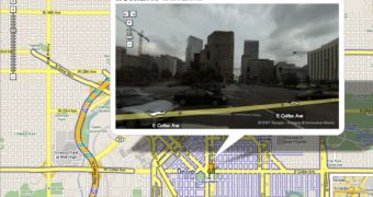
Recently, Google Earth and Google Maps were two of the most popular solutions at the Googleplex as they received a lot of new goodies from the parent company. It all started when Google quietly rolled out a new beta version of the downloadable Google Earth. It continued with the revolutionary Google Maps Street View, a function that kept the web-based service in spotlights after numerous consumers raised privacy concerns. If you didn't know, Street View shows street level panoramas from several US cities and beside public information it also captured some private details from people's houses.

 14 DAY TRIAL //