A collaboration of federal agencies and other organizations in the United States is getting ready to conduct a major test on the new US Real-time Earthquake Analysis for Disaster (READI) Mitigation Network. The asset will soon be used to inform disaster and emergency responses.
The main application for this network is in earthquake monitoring. Japan has implemented a similar system on its territory, with excellent results. The Asian nation has access to several hundred research stations, which provide it with a wealth of data.
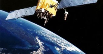
READI uses Global Positioning System (GPS) satellites to monitor around 500 stations spread throughout Washington, Oregon and California. As soon as an earthquake occurs, ground motions are recorded by the sensitive sensors.
This will enable experts to figure out how much the ground was displaced. The network will thus be capable of detecting the location and magnitude of the tremor, among other important information.
This capability will be of extreme use to authorities trying to mount a prompt and effective disaster response. Search & rescue and relief operations will also be conducted with increased efficiency, especially in those critical first hours after a natural calamity occurs.
If the tremor happens in the ocean, the system will enable analysts to calculate the risks associated with potential tsunamis more accurately. READI draws on 40 years of combined experience between various US agencies.
It represents the result of a collaboration between NASA, the US Geological Survey (USGS), the Department of Defense (DoD) and the National Science Foundation (NSF). The network will be especially effective at analyzing tremors of magnitude 6 and beyond.
“With the READI network we are enabling continued development of real-time GPS technologies to advance national and international early warning disaster systems,” NASA Headquarters Earth Science Division natural hazards program manager, Craig Dobson, explains.
“This prototype system is a significant step towards realizing the goal of providing Pacific basin-wide natural hazards capability around the Pacific 'Ring of Fire',” the official concludes.

 14 DAY TRIAL //