 14 DAY TRIAL //
 Jacques Chirac's touch on www.geoportail.fr caused the site rivaling Google Earth to crash the second it was launched. Furthermore the site was a victim of its own success as 20 million visitor attempted to connect just in the first three days. When it finally was up and running this week, no less than half a million users daily visited the site.
Those that managed to connect found that a series of locations in France, totaling hundreds of square kilometers were censored under a 1973 French law that prohibits such places to be photographed. Locations such as the Ch?teau de Bity, the President's country house in Corr?ze, government buildings and military bases were excluded from the site, although they are widely available on Google earth and at decent resolutions.
"French law requires us to hide sensitive sites for national defense," Bertrand L?vy, the director of the National Geographical Institute, which runs the site, told The Times today. "We have just been authorized to blur these zones rather than hide them, which is better. Obviously, one can wonder about the point of blurring zones if they appear on other sites but we are a public service and have to obey the law."
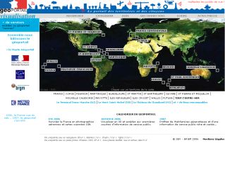
Geoportail was an instant success, providing over 400,000 aerial photographs covering authorized locations at high resolution in France but also its overseas territories: Caribbean, the Indian Ocean and the Pacific .