14 DAY TRIAL //
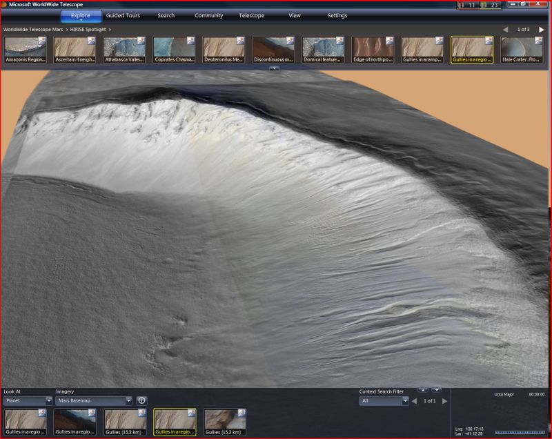
 Chances are very slim that any of us will actually get to climb the highest mountain in the solar system, but fact is that the Olympus Mons on Mars can already be explored by all “earthlings.” Microsoft has collaborated with NASA in order to make imagery of Mount Olympus available through the WordWide telescope, a project from the Redmond company designed to enable users to leave Earth altogether and “navigate” through the known universe right from their Windows PCs or Macs. At the same time, NASA shared additional images from the Red Planet on the WordWide telescope, on top of coverage of the highest volcano on Mars and in our solar system (approximately three times the size of Mount Everest).
The new Mars imagery went live on the WordWide telescope after well over a year and a half of work. Dan Fay, director of Microsoft Research’s Earth, Energy and Environment effort collaborated with Michael Broxton of the NASA Ames Research Center’s Intelligent Robotics Group (IRG), leader of NASA’s Mapmakers group. Inside NASA, it is Broxton’s team that put together maps from imagery captured by satellites orbiting Mars and the Moon.
“We wanted to make it easier for people everywhere, as well as scientists, to access these unique and valuable images,” Fay revealed. “NASA had the images and they were open to new ways to share them. Through the WorldWide Telescope we were able to build a user interface at WWT|Mars that would allow people to take advantage of the great content they had.”
“NASA has a history of providing the public with access to our spacecraft imagery,” Broxton added. “With projects like the WorldWide Telescope, we’re working to provide greater access so that future generations of scientists can discover space in their own way.”
But what users will get to experience through the WordWide Telescope when they focus on Mars is no plain-vanilla imagery, or a 2D map. Microsoft has combined Mars images with additional data, including elevation models, and information from MOLA, the Mars Orbiter Laser Altimeter installed on NASA’s Mars Global Surveyor orbiter. “Now users of the WorldWide Telescope can zoom down and actually experience the surface-level detail of Mars. They can pan back and see the height of the craters or the depth of the canyons. The new Mars experience allows people to feel as though they’re actually there,” Fay explained.
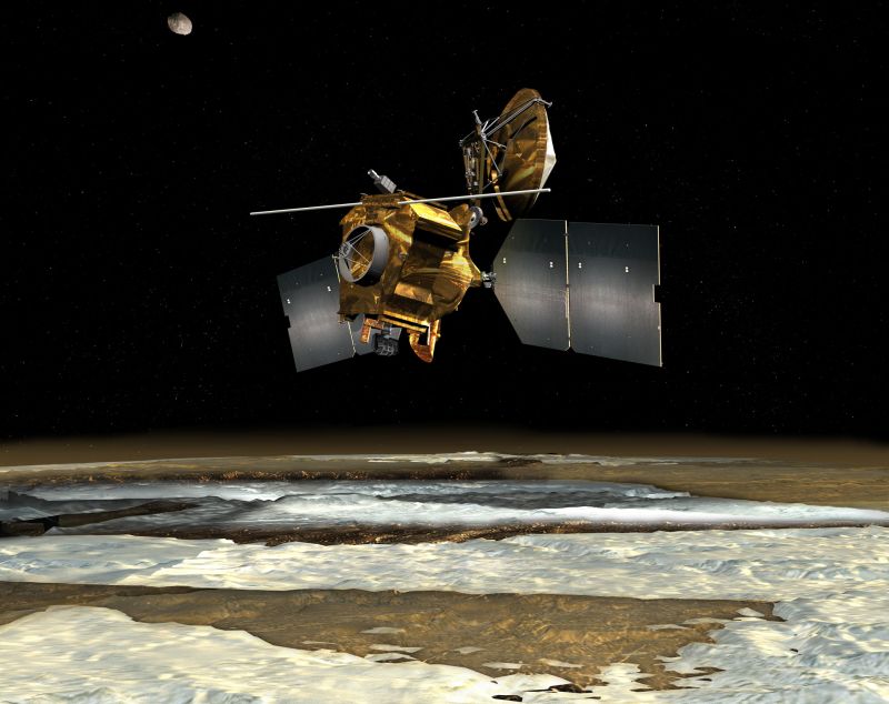
In order to replicate the Mars experience as close as possible, the company had to tap a new dataset from the University of Arizona’s High Resolution Imaging Science Experiment. HiRISE is an extremely advanced remote-sensing camera which was equipped on NASA’s Mars Reconnaissance Orbiter. In total, it captured in excess of 13,000 high resolution images (some 1% of Mars), that Microsoft worked with.
“Due to its size, the data set is too unwieldy for many people to work with,” Fay noted. “But that large data set is necessary to provide the most in-depth experience — the most beautiful images, which are full of information. We needed this immense level of data to even begin to attempt to create this unique Mars experience.”
NASA’s resources were also hard at work putting together the HiRISE mosaic. According to the two companies, the space agency’s high-performance computing cloud, Nebula, processed the images for 14 days on no less than 114 CPUs in order to put together the map.
“It gave my young son a sense of what the space mission is about, and why we as a nation invest in it,” Fay added. “I think that people who look at this will be amazed by these images and the detail of what these cameras can pick up. Seeing the solar system spinning in time, the details of the Martian planet, you could spend hours getting lost in space.”
Follow me on Twitter @MariusOiaga.