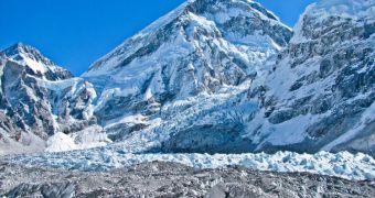
Officials from the European Space Agency say that data from their satellites in Earth's orbit are now helping scientists compile the first overview of how glaciers in the Himalayas are behaving.
Over the past few years, several scientific studies have warned that ices covering the massive mountain range are beginning to melt, so the international community began mobilizing to gather more data.
Thus far, saying anything for certain about melt trends has been hampered by a severe lack of long-term data on how the ices are behaving, influenced by global warming and local weather patterns.
Additionally, monitoring the melting or freezing of land-based glaciers – the world's most important freshwater resources – provides one of the best possible indicators of how climate change takes place.
ESA experts say that the recent observations provide the first overview map of how the thickness of Himalayan glaciers is changing over time. Details of the study appear in the August 23 issue of Nature.
By centralizing data from a large number of Earth-monitoring spacecraft, researchers were able to determine that the Hindu Kush–Karakoram–Himalaya (HKKH) region lost no less than 12 gigatons of ice between 2003 and 2008.
This melt rate is significantly higher than climatologists predicted based on previous data and it affects a group of Asian mountain ranges spanning more than 2,000 kilometers (1,242 miles) in length.
Data used in this assessment were provided by the NASA ICESat mission, the Shuttle Radar Topography Mission, and the Landsat constellation, a joint program of the American space agency and the US Geological Survey (USGS).
ESA contributed data from all its Earth-observing satellites, and says that the upcoming Sentinel constellation – to be launched as part of the European Global Monitoring for Environment and Security (GMES) program – will contribute to this effort in the future.
“The laser altimeter data were extracted for different types of glacier surfaces derived from the Landsat data and compared with the digital elevation model to obtain elevation differences over time,” ESA scientists write in a press release.
“On average, HKKH glaciers thinned by 0.26 [meters, or 0.85 feet] per year but there were significant subregional variations related to different climate and glaciology patterns,” they go on to say.

 14 DAY TRIAL //