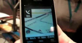
Traffic-related decisions due to weather conditions or choosing a particular route will soon be made much easier by our own smart phone. A recent collaboration of Nokia, its independent NAVTEQ subsidiary (a Chicago-based provider of Geographic Information Systems data and a leading company in providing base electronic maps), and UC Berkeley, has resulted in a much-needed software. It will feed on GPS data collected from mobile phones and provide a “whole picture” view back to the respective phones.
This free software, which only requires registering, download and installation, is called Mobile Millennium and will also work on non-Nokia phones. The program allows for anonymous data collection (based on the Virtual Trip Lines technology) and for merging it into a single data stream which is encrypted and sent to a computer. There, it is mixed up with more such local traffic data streams and fed back to phones and the Internet via a very intuitive interface.
According to Alex Bayen from the UC Berkeley, should sufficient people download and use the software, the Mobile Millennium system could soon prove to be an instrument of major importance in traffic congestion relief up to the smallest (or biggest) of scales. The early stages of the initiative will address mainly to those drivers who possess compatible smart phones and are located between the San Francisco Bay Area and the Lake Tahoe ski region.
Still, any Bay Area resident who owns a compatible smart phone or has Internet access should be able to get such traffic data upon request. Also, the initial stage will be mainly focused on highways, with the lesser and lesser arterial routes to be computed into the system as the number of users grows, providing further and accurate data. The program developers hope that by April 2009, the number of users will reach the milestone of 10,000.

 14 DAY TRIAL //