14 DAY TRIAL //
 Since Google rolled out the 4.3 version of Google Earth, users have been discovering new imagery updates which simply allow them to enjoy different corners of the world straight from the desktop. Although I'm not sure whether this is something new or it has also been integrated into the 4.3 release, a 3D version of Dallas is now available in Google Earth, the folks at The Dallas Morning News wrote. As usual, the 3D imagery actually shows 3D versions of the buildings, allowing you to rotate and zoom pictures at a very high level.
As you can see in the adjacent picture, the imagery looks pretty well but you may have to wait a little bit until it gets fully loaded, depending on your Internet connection. In order to view the 3D buildings, you have to enable the special layer included in the Layers box in the left part of the Google Earth interface.
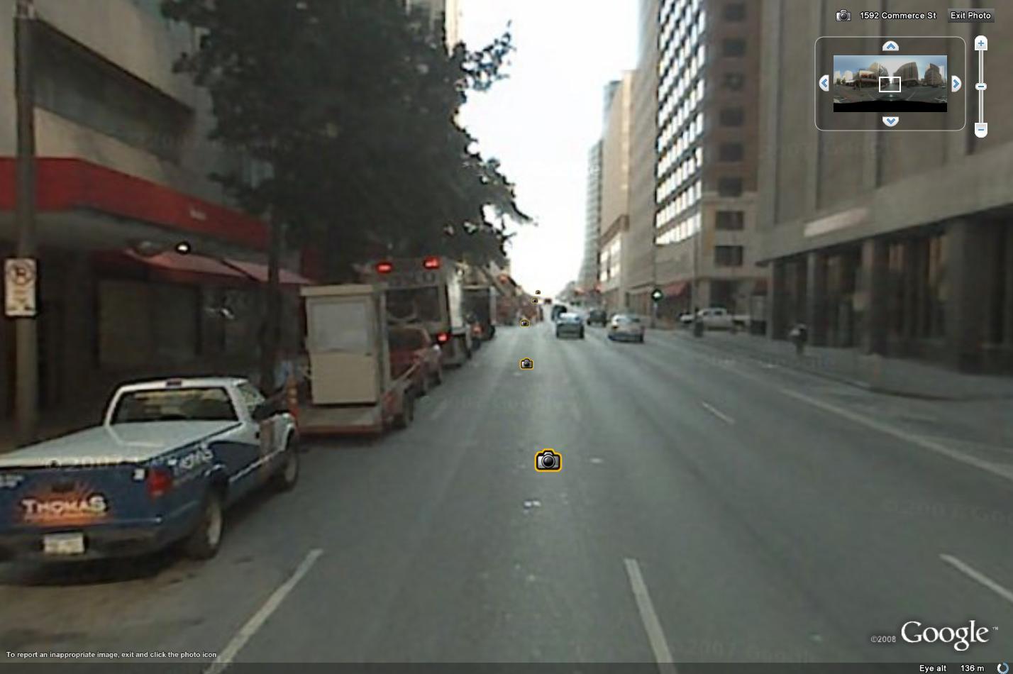
Dallas is also one of the locations which already have Street View, the Google Earth / Google Maps function which provides high-resolution street-level photos from several locations of the world. In comparison with other cities which got Street View, the Dallas photos are pretty unclear and don't provide such a large amount of details.
The latest version of Google Earth has come with several brand new functions, including the implementation of Street View, the technology previously available only in Google Maps. Moreover, it has brought an impressive amount of 3D buildings placed all over the world as well as sun and shadows which enable you to browse high-resolution pictures captured from satellite at different times of day or night.
Obviously, you can download the newest version of Google Earth straight from our Windows downloads section, using this link.