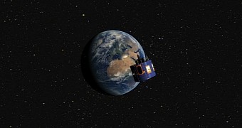
The MSG-4 satellite launched into our planet's orbit from Korou, French Guiana, less than a month ago, on July 15, under the watchful eye of European Space Agency scientists.
Although not yet fully operational - a few more months of commissioning are in order before all instruments kick into gear - the satellite is not simply idling.
Rather, it recently took the time to image landscapes across our planet. The view, released by European Space Agency researchers just yesterday, is available below.
This gorgeously detailed photo of Earth, captured by MSG-4's Spinning Enhanced Visible and Infrared Imager instrument, is a first for the satellite.
“Today, the Spinning Enhanced Visible and Infrared Imager (SEVIRI) instrument on MSG-4 captured its first image of Earths,” scientists explain in the photo's description.
“This demonstrates that Europe’s latest geostationary weather satellite, launched on 15 July, is performing well and is on its way to becoming fully operational,” they go on to detail.
The MSG-4 satellite is designed to collect and deliver data on global weather. In turn, this data will improve forecasting and climate research.
The probe, whose name stands for Meteosat Second Generation, is the fourth and final satellite of the kind launched by European scientists to study global weather patterns.

 14 DAY TRIAL //

