14 DAY TRIAL //
 NASA's Dawn probe was launched into space in January 2006. Come March 2015, it reached dwarf planet Ceres and planted itself in its orbit.
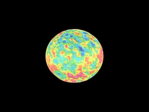
The spacecraft has since kept busy documenting landscapes across the orb's surface. As it turns out, it has done such a good job identifying craters and mountain peaks that NASA scientists are now confident to produce a map revealing the dwarf planet's geography.
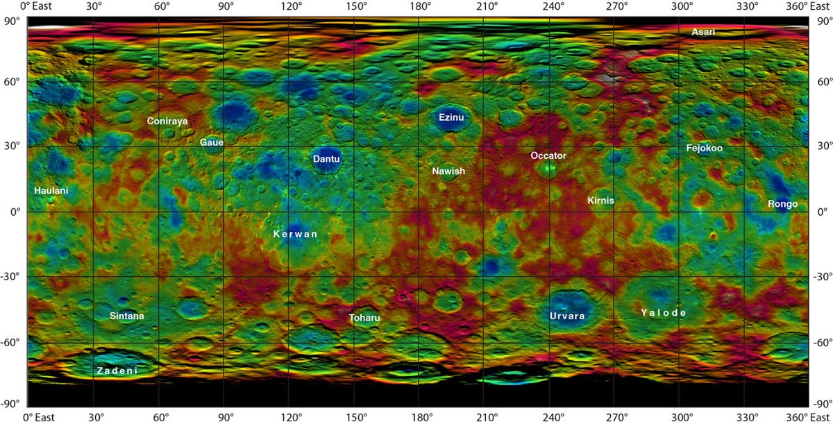
The map, available in the gallery below, illustrates the highs and lows of topography on the surface. Of the mountain peaks included in this map, some are as high as 9 miles (15 kilometers).
As for the craters easily distinguishable in this view of Ceres, the most impressive are Occator and Haulani, estimated to have a diameter of 60 miles (90 kilometers) and 20 miles (30 kilometers), respectively.
Although there are other bigger craters on Ceres, these two are of special interest to mission scientists at NASA seeing as they are home to the mysterious bright spots that popped into view when Dawn first got close enough to the dwarf planet to image its surface.
In case you were wondering, no, researchers have not yet figured out what these bright spots are. Dawn data, however, indicates that they are much colder than their surroundings, so it could be that they are ice deposits.
Other interesting features on Ceres are the Dantu and the Ezinu craters, both estimated to be about 75 miles (120 kilometers) wide. They are pretty big, but they pale in comparison to the Urvara crater, which measures 100 miles (160 miles) across and even holds a pointy peak at its core.
In the weeks to come, Dawn should get as close as 900 miles (1,500 kilometers) to the surface of Ceres and image the orb in further detail. A more precise map will likely be released soon after.