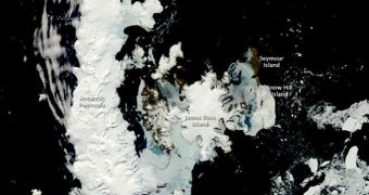
For about 4 years, a team of scientists from the United States has been conducting a mapping campaign in Antarctica. The effort is aimed at shedding more light on one of the last few areas in the world that are not entirely familiar to humans. The group is now setting its eye on the Arctic as well.
Expanding the investigations effort to the North Pole as well would ensure that the last two bastions of nature are mapped in detail. Efforts to do so have until new resulted exclusively in the creation of partial maps, covering only areas of major interest.
What researchers with the Polar Geospatial Center (PGC) at the University of Minnesota want to produce are the first highly-accurate, high-resolution map sets of the Arctic and the Antarctic.
The PGC group has been roaming on the Southern Continent since 2007, and now their work is finally coming to an end there. But experts say that they want to continue their study, but this time at the other pole, Our Amazing Planet reports.
In addition to the maps themselves, the team is also helping with training other scientists who want to explore the pole. The PGC team is providing training sessions and logistical support for such groups.
“Our work impacts everything from research on the movement of glaciers to the study of penguin colonies to the landing of military aircraft in remote locations,” explained scientist Paul Morin.
“Some of the maps we produce are the first of their kind of locations that no person has ever visited,” the expert added in a statement. Morin is a UM geophysicist and also the leader of the research team.
The innovative work the group is conducting in the harshest conditions on the planet has landed them a contract with Google. The team is providing constant updates for Google Earth's and Google Maps' Antarctic and Arctic segments.
In addition, high-resolution satellite data is also helping scientists from other fields conduct their work with ease. Biologists in the US and elsewhere managed for example to complete the first census of emperor penguins living in Antarctica.
This research is being conducted with the support of a $4 million, five-year fund provided by the US National Science Foundation (NSF). The agency will most likely support the Arctic efforts as well.

 14 DAY TRIAL //