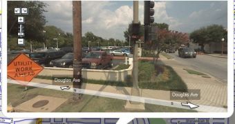
I might just be reinventing the wheel with this, but I think I know the basis of cities being added By Google Maps to its Street View option. *Drums, people waiting for it with widened eyes, fans fainting and being carried out on gurneys and stretchers* The answer is? they are all in the top 150 US cities by population. Don't tell anyone, I think they do it for the popularity.
With the recent addition of these last eight cities, namely Dallas, Detroit, Indianapolis, Fort Worth, Boston, Minneapolis, St. Paul and Providence, the total number was upped to twenty three. A lot of places to walk around when you're sick and get out of the house, don't you think? I think I'll just try that the next time, I think I'll go to Detroit and check out the center of the town, I heard it's very friendly. Coincidence or not, half of the newly added cities have NBA teams, so I could just go and visit their courts while I'm at it.
Boston.com said earlier today that "Google is also introducing a mashup service today that will enable Internet users to import Street View panoramas from particular streets or neighborhoods to their own websites or blogs. The service is intended to make it easier for people to use Street View to recommend sights, locate coffee shops, or design cyber-walking tours." That might be done by extending the embedding feature to Street View imagery, as Ionut Alex. Chitu observed on his blog.
I can't really wait for Street View to come to Europe, I want to be able to plan ahead my route to wherever I might be headed, based on the traffic jams I'll see by using the feature of Google Maps or just see if I recognize from behind who's the one ringing at my door. Bet you've never thought about that, have you?

 14 DAY TRIAL //