14 DAY TRIAL //
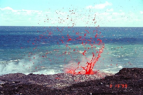
 The US Hawaii Islands are located on top of a very sensitive tectonic and volcanic center, which is part of the Ring of Fire, the hypothesized circle that surrounds the Pacific Ocean. This area features intense volcanic activity, as well as earthquakes, all caused by the subduction processes that take place between the Pacific tectonic plate, and all those around it. For more than four decades, researchers have been debating on how the islands were formed, but one theory that explains that has been the subject of heated debates ever since it first appeared.
Now, supported by the National Science Foundation (NSF), experts at the University of Hawaii Manoa School of Ocean and Earth Science and Technology, led by geologist Cecily Wolfe, have set out to test this idea. It basically states that the islands are sitting atop a mid-tectonic plate hotspot, which is generated by upwelling plumes of lava from the base of the Earth's lower mantle. Wolfe decided to put this idea to the test, and led her team in deploying a large network of sea-floor seismometers. The goal of these instruments is to essentially open a hole in the Earth and peak inside.
The efforts were a part of the Plume-Lithosphere Undersea Melt Experiment (PLUME), which was undertaken following an NSF grant-funded expedition. “The hypothesis that hot spots like Hawaii originate from mantle plumes is one of the longest-standing and most controversial topics in geology. This pioneering experiment combining large numbers of broadband seismometers on the seafloor with instruments on land has provided the most persuasive evidence yet for the existence of a mantle plume extending into the lower mantle beneath Hawaii,” Robert Detrick says.
The expert is the director of the NSF Division of Earth Sciences, and also a co-author of a new scientific paper describing the finds. Details of the research appear in this week's issue of the top journal Science. Detrick conducted his work while being a researcher at the Woods Hole Oceanographic Institution (WHOI). The seafloor network covered an area more than 1,000 kilometers wide, and provided the experts with a flow of relevant data. The goal of the network was to assess seismic-wave dispersion – from tremors around the world – and determine if they were passing slower underneath the islands.
“This experiment was first conceived by our team a decade ago. The results have been worth the wait and exceeded all expectations. The success of such an ambitious seafloor experiment is a technological feat in itself, and signals a new era in the field of marine seismology,” Wolfe says. According to the initial results, it may be that the idea stating that a deep mantle plume exists underneath Hawaii is true, and well-founded on scientific facts.