Officials at the American space agency announce that they will soon inaugurate the NASA Earth Exchange (NEX) facility, a state-of-the-art, high-performance computing and data access center that will be used to centralize and study Earth observation data.
The agency has already spent a lot of resources developing this installation, but it plans to improve its capabilities even further by opening it to the scientific community. The plan is to continuously upgrade the installation so that it can answer any scientific need.
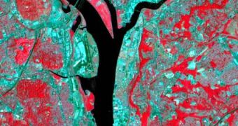
At the core of NEX will lie global high-resolution satellite observations, such as those compiled by the Landsat constellation. These spacecraft have been collecting information about the planet's surface for more than 40 years and have produced extremely sensitive readings.
NEX will basically act as a virtual laboratory, where experts will be able to study how global warming is changing the planet's climate by looking at high-resolution satellite data. The facility's state-of-the-art supercomputing capacity will be of tremendous use in this regard.
Investigators who will use the new NASA asset will be able to find the answer to their questions in simulations and models that will take just hours to complete, rather than months. The virtual lab will encourage inter-disciplinary approaches to answering complex questions.
“Because of the large volume of high-resolution Landsat data, scientists who wanted to study the planet as a whole prior to NEX needed to invest tremendous amounts of time and effort to develop high-end computational methods rather than focus on important scientific problems,” Tsengdar Lee explains.
“NEX greatly simplifies researchers' access to and analysis of high-resolution data like Landsat,” adds the scientist, who holds an appointment as a high-end computing program manager at NASA Headquarters, in Washington, DC.
According to the scientist, NEX will need less than 10 hours to piece together all Landsat images of Earth's vegetation, creating a global map featuring in excess of a half trillion pixels. Vegetation images from Landsat have 10 times the resolution of those snapped from the Aqua or Terra satellites.
Both of these spacecraft rely on the Moderate Resolution Imaging Spectroradiometer (MODIS) instrument to conduct Earth observations. The datasets obtained by MODIS and Landsat should complement each other nicely, experts believe.
“The science community is under increasing pressure not only to study recent and projected changes in climate that likely impact our global environment and natural resources, but also to design solutions to mitigate, or cope, with the likely impacts,” investigator Rama Nemani explains.
“We want to change the research paradigm by bringing large data holdings and supercomputing capabilities together, so researchers have everything they need in one place,” adds the researcher, who is a senior Earth scientist at the NASA Ames Research Center (ARC), in Moffett Field, California.

 14 DAY TRIAL //