 14 DAY TRIAL //
 Microsoft has announced ambitious plans for the Live Maps / Virtual Earth online mapping service, focused on merging the digital and physical worlds. Concomitantly, Microsoft also made public the fact that no less than 21 academic researchers will receive a $1.1 million funding to develop technologies and techniques for geographic information-visualization and location-based Internet searching.
"The ability to search for and analyze information within the context of location is a field with great potential," said Sailesh Chutani, director of External Research & Programs, the arm of Microsoft Research that works closely with academic institutions. "These researchers are using a powerful new approach to solve fundamental problems, and our programs are designed to help them in a number of ways - funding to bring in additional resources, software and data to use in experiments, access to top researchers at Microsoft, and collaboration with the broader, global research community."
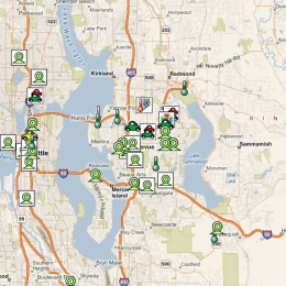
In the end, Microsoft Virtual Earth will be able to seamlessly combine geographic imagery with map information, data from sensors placed across various locations and Internet sources. Virtual Earth will be able to deliver maps of the world in real time, and enable users to access a range of information from local restaurants to climate statistics.
"We believe scientific research can be highly enriched through access to geographic presentation assets," said Gur Kimchi, software architect for Microsoft's Virtual Earth business unit. "Data gathering is an expensive operation today. These RFPs allow us to share and utilize the rich data we've collected for the benefit of the scientific community, with the potential ultimately to enhance scientists' understanding of ecology, meteorology, epidemiology and virtually any field of inquiry that can benefit from displaying and analyzing data geographically."