 14 DAY TRIAL //
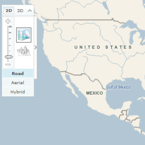
 Almost half a million square miles of aerial imagery will be added to Virtual Earth, following the inking of an agreement between Microsoft and GlobeXplorer. The Redmond Company revealed via a press release that the Virtual Earth online mapping platform will be updated with detailed US imagery provided by GlobeXplorer.
"We share Microsoft's dedication to making available the most current and richly detailed images of the earth on the Web," said Paul Smith, chief operating officer of GlobeXplorer. "This collaboration will help us extend the value of GlobeXplorer content to millions more businesses and individuals over the Windows Live? network of services."
"Combining the vast aerial and satellite image library of GlobeXplorer with our current Virtual Earth mapping content will enable us to continue delivering exceptional experiences for consumers, enterprise customers, advertisers and software developers," said Stephen Lawler, general manager of the Virtual Earth Business Unit at Microsoft. "I'm thrilled that we can deliver new dimensions of speed, accuracy and ease to local search, which is one of the fastest-growing categories online today."
As a result of the Microsoft and GlobeXplorer, a total of 409,997 square miles of aerial imagery covering locations across the United States will be refreshed into Virtual Earth which powers the Redmond Company's Live Maps, an initiative that rivals Google Earth.