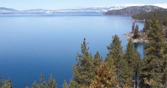
A group of investigators at the US Geological Survey has just finished conducting a risk assessment of the Tahoe-Sierra frontal fault zone, which is located west of California's Lake Tahoe. They concluded that the area can generate earthquakes of magnitude 6.3 to 6.9.
This represents a significant risk increase for the region, which was previously thought to be incapable of producing earthquakes of this magnitude. Experts used an advanced imaging method called bare-earth airborne Light Detection And Ranging (LiDAR) for this research, e! Science News reports.
The increased seismic risk affects both California and Nevada, the USGS group explains. Dense vegetation in the area prevented experts from figuring out just how dangerous this fault line was, until LiDAR was employed. The technique can see through the thick forest cover.
“From investigations of geologic hazards to calculations of carbon stored in the forest canopy to simply making the most accurate maps possible, LiDAR returns its investment many times over,” explains Marcia McNutt, the director of the USGS.

 14 DAY TRIAL //