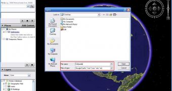
As many of you know, KML (Keyhole Markup Language) is the format compatible with Google Earth that allows both the Mountain View-based company Google and users to create and import layers into the downloadable mapping tool. But starting today, KML no longer belongs to Google Earth as the Open Geospatial Consortium announced that KML is now an international standard which means the body will maintain and expand the format, as Michael Weiss-Malik, KML Product Manager, wrote on the company's blog.
"Starting today, Google no longer controls KML. The Open Geospatial Consortium, an international standards body, has announced the completion of KML's standardization process. KML has become an OGC Standard, and the OGC will take responsibility for maintaining and extending it. This transfer of ownership is a strong reflection of Google's commitment to open standards. Fundamentally, our interest is not to control information, but rather to encourage its spread," he wrote.
The KML format attracted an impressive collection of photos compatible with Google Earth as users, researchers and scientists from all over the world have created their own imagery or content and implemented it into the map application.
"KML was originally created as a file format for Google Earth, allowing users to overlay their own content on top of our base maps and imagery. It's since become something much larger - KML has become the HTML of geographic content, the dominant way to share user-created maps online," the Google official explained.
"There are now tens of millions of KML files available online, hosted on more than 100,000 unique domain names. KML is supported by a large and growing number of vendors and products, and can no longer simply be described as Google Earth's file format. Because it has transcended Google Earth in scope, and even outgrown Google itself, we have decided to give it away."

 14 DAY TRIAL //