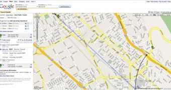
Google Transit is what seems to be the easiest and fastest solution to plan a trip using public transportation in your home town because it allows you to do that from a simple yet powerful interface. The bad thing is that it only provides coverage for a limited number of cities/states around the world, the United States residents being among the lucky guys who received the largest part of information. Beside the United States, Google Transit provides details about Canada , France, Italy, Japan, Western Australia, Poland, Switzerland and UK. For the entire list of coverage, check out this link.
Because such a service would be extremely useful all around the world, the Mountain View company is struggling to expand the coverage so, today, a new city gets on the list. Residents of Chicago are now able to plan their trip using public transportation straight from the Google Maps website, by using the Transit function.
"Today, I had the pleasure of announcing that the Chicago Transit Authority (CTA) is partnering with Google to bring schedule and station data for our 8 rail lines and 154 bus routes to Google Maps. Having CTA's information available on Google Maps allows us to reach a broader audience; by including our station/stop icons in maps, we can seamlessly introduce people to public transportation options as they look up locations or search for directions, and encourage alternatives to driving," Ron Huberman, President, Chicago Transit Authority, wrote on the company's blog.
Unfortunately, Google Transit is not available in my town but, having a look at the service and at the feature it provides proves us that public transportation is not a secret anymore even if you're stranger in the city. So, give it a try and see it by yourself!

 14 DAY TRIAL //