14 DAY TRIAL //
 The Street View cameras have reached plenty of places no one believed they would, not even the product's creators initially. The name is an anachronism at this point, Street View goes way beyond actual streets, from the Antarctic, to Canada's frozen north to the Amazon, to the inside of museums.
Google went beyond cars to capture the imagery a long time ago. The Street View trike is used in inaccessible places and the Street View snowmobile is great for the slopes and snowy mountains.
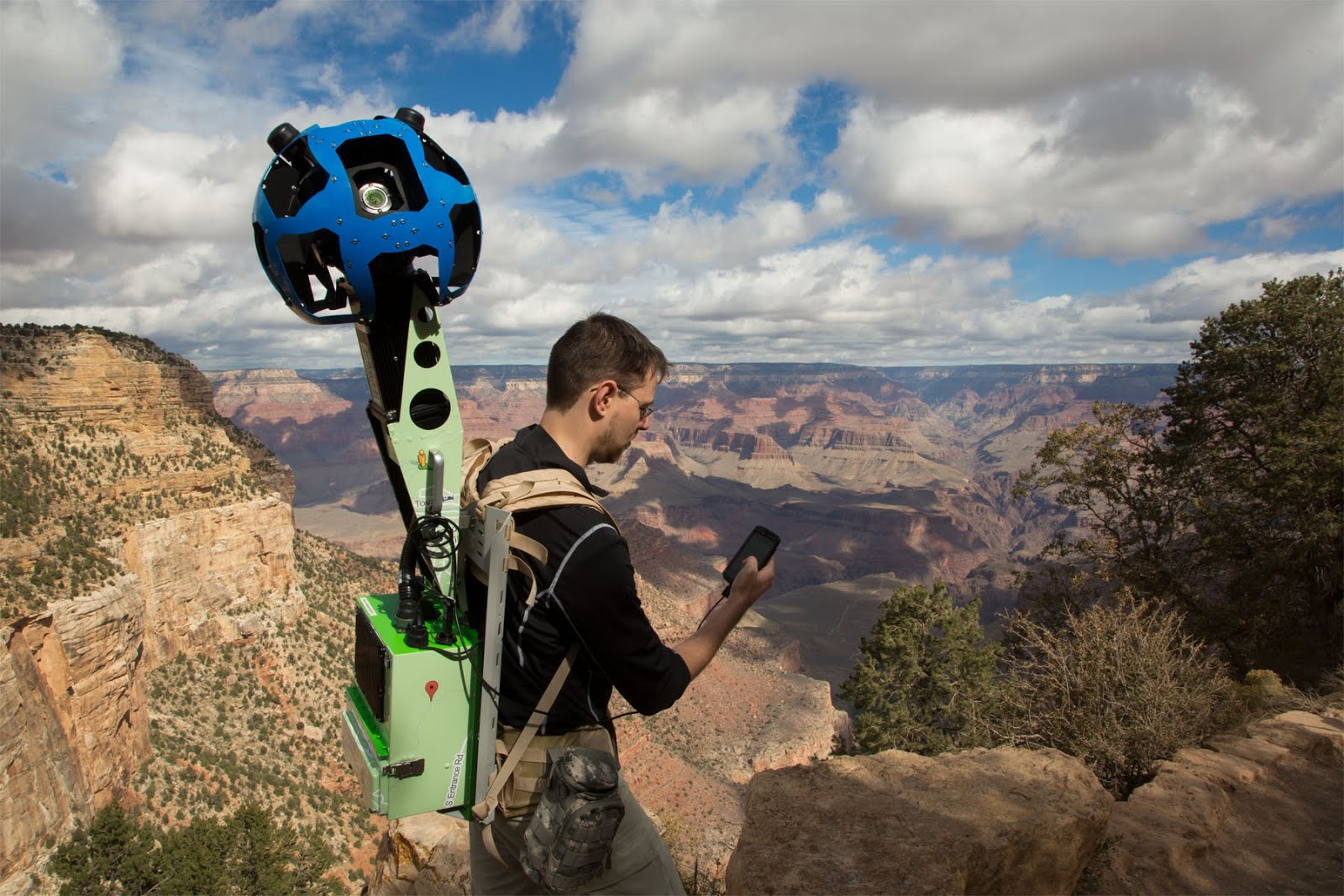
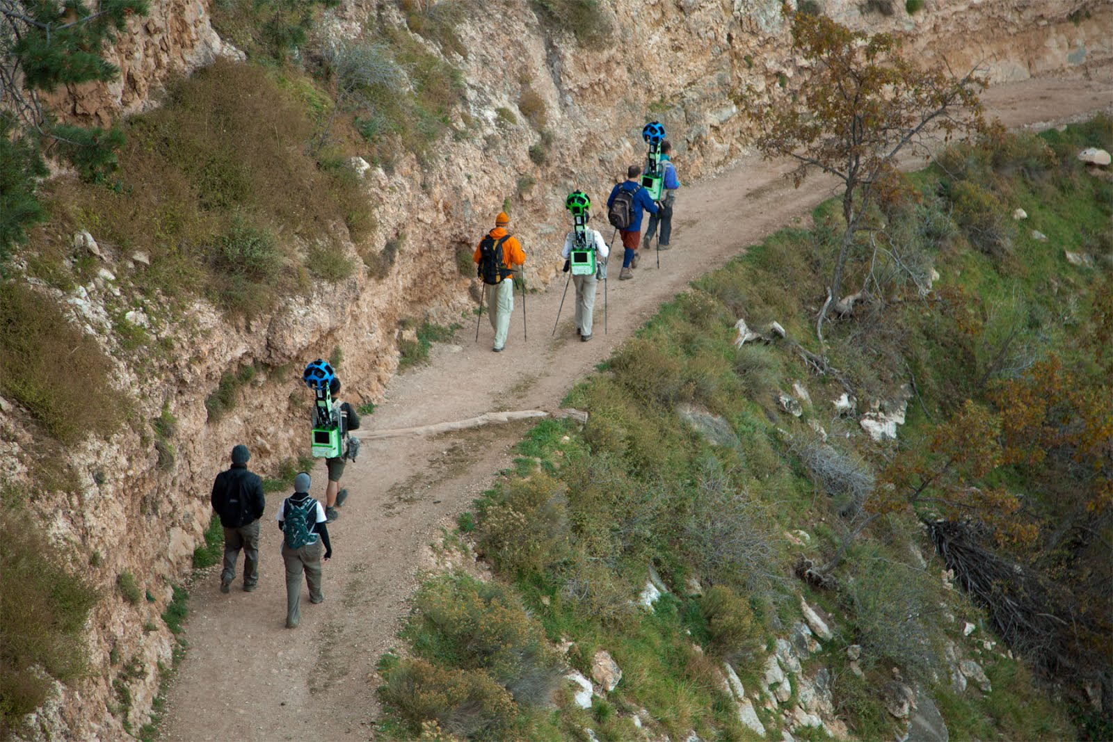
But there are plenty of places where even these contraptions can't go. This is why the "Trekker" was invented. The Street View Trekker is a "human mounted" version of the tech that captures the panoramic images you're used to.
"Demonstrating the rocky and rugged paths we’ll travel to make Google Maps even more complete, we’re collecting imagery from a place no car, trike or snowmobile has ever been before," Ryan Falor, product manager for Google Street View, wrote.
"On its first official outing, the Street View team is using the Trekker—a wearable backpack with a camera system on top—to traverse the Grand Canyon and capture 360-degree images of one of the most breathtaking natural landscapes on the planet," he explained.
Google is no stranger to braving the elements to get new imagery for Street View. In this case, it's not the extreme weather that's the problem, the rocky trails of the Grand Canyon can't be traversed but by foot.
The Grand Canyon is just the first example, Google will be taking the Trekker to plenty of other similar places. For now, images from the Grand Canyon are being processed and will start arriving in Google Maps as soon as they're ready.
Google has to stitch the separate images together to create the 360-degree immersive view along with blurring people faces and similar modifications to the raw images.
"This week, photos are being gathered from portions of the South Rim at Grand Canyon National Park, including the ridge, the famous Bright Angel Trail, South Kaibab Trail, and more," Falor explained.
"These panoramic views will soon be live on Google Maps, giving everyone from real-life visitors to armchair travelers the opportunity to marvel at this beautiful, majestic site from the comfort of their computers or mobile devices," he added.