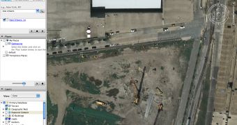
Google Earth was the subject of a recent dispute between the parent company Google and the New Orleans authorities after the application removed pre-Katrina pictures. The search giant decided to remove numerous photos captured after the Hurricane Katrina assaulted the city, the local authorities accusing the company for censorship and for refusing to show the truth. However, Google's officials sustained the images were available just after the hurricane assaulted the city and were meant to help the residents of the city identify and rescue the affected victims. Soon after that, Google removed the pictures and replaced them with older ones, captured before the Hurricane Katrina.
The local authorities recently issued a statement, accusing the company for image censorship and for refusing to show the truth. As a reply, the Google officials sustained they removed the pictures but they were published on a separate page also hosted by Google and downloadable as a Google Earth add-on.
Today, the downloadable application shows Katrina pictures, displaying important damages over the city and the buildings. Although the company sustained in a recent blog post that the company didn't censor the truth, it seems like they backed down and they are now displaying Katrina photos.
"The new satellite imagery, which offers a bird's eye view of the world, now shows post-Katrina New Orleans dotted by blue protective tarps on damaged roofs and the Lower 9th Ward neighbourhood covered in debris. Still, the new images are outdated. For example, there is no sign of the massive floodgates that the Army Corps of Engineers built on three drainage canals," The Sydney Morning Herald sustained in an article published today.
If you want to download Google Earth, you can take it from Softpedia using this link.

 14 DAY TRIAL //