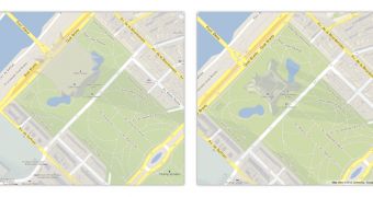
Google has now brought to Google Maps GL the detailed 3D building models that it recently introduced. These models are a significant improvement over the previous ones and were only available in the regular version of Maps, not the WebGL-powered one.
"In March, we shared news of a significant improvement over our previous 3D buildings in Google Maps, providing a much more recognizable view of thousands of important buildings around the world," Google explained.
"Now, we’ve brought this enhanced 3D experience to Google MapsGL as well.Google MapsGL is a true 3D experience affording a perspective called 'parallax,' so you can get different views of a building depending on where you pan," it announced.
About a month ago, Google added more than 1,000 detailed models for the most famous landmarks of the world. Google Maps uses 3D building models in the default view to give users a better perspective on the buildings surrounding the location they're looking at.
In crowded cities in particular, this data can be very helpful especially if you're the type to get your bearings better with visual cues rather than "raw" navigational data.
But the feature was not available in MapsGL, the WebGL version of the site, which is still experimental though, has been available for testing for several months now.
It may be that Google had to convert the models or it may be that MapsGL still needed some polishing, but they're here now.
With this addition, MapsGL is basically on par with the regular version while offering improved performance, in some cases, a much smoother view and more detailed vector graphics.
And quite recently, MapsGL got an exclusive feature, the 3D photo tours that were introduced just this week. The photo tours make use of the GPU to morph and transform photos in Google Maps into a continuous slideshow.

 14 DAY TRIAL //