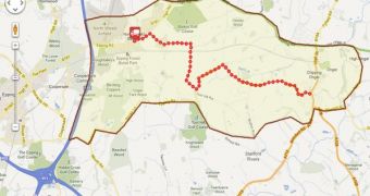
Google Maps hasn't had to fight very hard for a long time. For many people, it's the one and only map app, even more so than search. So Google hasn't had to try very hard to advertise Maps or showcase what it can do.
With Apple's move to its own map app and several big API users moving to alternatives such as the open source OpenStreetMap, things are changing and Google's new, more active stance is visible.
But it's not just showcasing what Maps can do, Google is also starting to add new functionality to Maps and especially the API at a faster pace, the benefits of competition.
Google is now introducing two new features to its API geared towards companies that need to keep track of things in the real world, either vehicles, or goods or employees.
"The Google Maps Tracks and Geolocation APIs allow an organization to develop customized location-based applications to meet specific business needs," Google explained about the two new APIs.
"The Google Maps Tracks API, for example, can provide a fleet management company with tools for analyzing data from past and present deliveries. By seeing routing information on a familiar Google Map, they can determine which routes can save time and fuel," it said.
"Using the Google Maps Geolocation API, the fleet management company can equip its vehicles with advanced positioning capabilities. Even in dense city blocks where GPS dropout is common, a dispatcher can still locate its fleet," it added.
The first API enables companies to layer GPS and location data on top of Google Maps, hence the Tracks API name. The usefulness of this type of API is quite obvious.
The second API is designed to enable apps to get location readings without the need for GPS data, by using Google's methods, cell tower and WiFi router locations.

 14 DAY TRIAL //