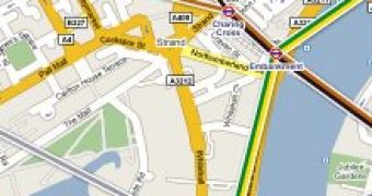
Google is unraveling the nooks and crannies of public transportation in over 50 cities worldwide. According to the Mountain View-based search giant, users of Transit will be able to navigate much easier the cities where the feature is available by getting step-by-step transit directions, quickly identifying transit stops in any area, and even access information about certain stations along with schedules. The new layer in Google Maps is available under the More Button, and one only has to click on the Transit Tab.
“If you want to book a hotel or make a restaurant reservation, you can switch on the Transit Layer and look for the public transport line nearest to the location. If you want to travel from A to B, you can quickly familiarize yourself with the public transport network and find out which lines to use and where to change,” Raphael Leiteritz, Google product manager, explained.
The Mountain View company revealed that the Transit Layer was an integral part of Google Transit. However, the two have different purposes. In this context, the main Google Transit is designed to offer users standalone information related to schedules and routing of public transportation.
By comparison, the Transit Layer is only meant to overlay visual information on top of the content available via Google Maps. The Transit Layer makes it easy for users in the 50+ cities with coverage to search for certain locations and then identify a route to their destination using the public transportation system via Google Maps.
“Think of a virtual metro map on top of Google Maps – even when we don't have itinerary planning available, we want you to be able to see public transit options that are available. Our goal is to be able to offer transit information as an alternative to driving directions wherever possible,” Leiteritz stated.

 14 DAY TRIAL //