14 DAY TRIAL //
 Google wants to recreate the world online, at least that's what it looks like, as it's been adding all manner of imagery and data to Google Maps. At first, it was satellite imagery of most parts of the world making for a very interesting perspective one that wasn't available for the public prior to that. Later it started to include Street View images to get a feel for the locations from the ground level. And finally it is now gathering aerial images of major cities around the world in an effort to add yet another perspective. These images aren't live yet, but Google is making a first step by letting developers access them in two cities in the US, San Jose and San Diego.
“Starting today, developers will have access through the Google Maps API to high-resolution overhead imagery that is presented in a new aerial perspective. This is currently available in 2 spots in California: San Jose and San Diego,” Randy Wilson and Manish Patel, Google Imagery Team, wrote.
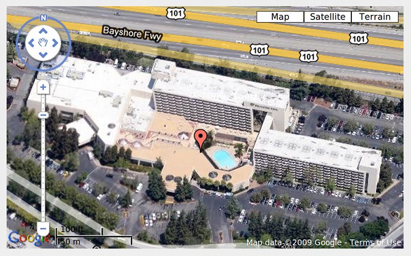
“This new perspective gives users the ability to tilt their view of the world. In addition to seeing hotel rooftops like in our current "satellite" view, users can now see both the rooftop and sides of the hotel at an angle. In fact, users can rotate around all the sides of a hotel to get 4 different views from back to front,” they added.
The images by themselves aren't particularly useful, so Google carefully merged all the photos it had gathered to provide a continuous panoramic view of the cities. Users can move around the city and view it from an angled perspective, allowing them to see more than just the rooftops like in the satellite view.
It's safe to assume that Google isn't ready to launch the features on a larger scale, so it's starting off with a test in just these two cities and only for third-party developers who have implemented Google Maps in some way. A few have already taken advantage of the new features and Google lists some of the sites which offer the new perspective view like Orbitz and a couple of real-estate sites.
Where the new perspective view is active, you will see a circle around the one used to navigate in Google Maps. Rotating it will allow you to see a location from four different angles. Developers interested in those two cities can implement the new feature already and Google says it is currently working on releasing it for more cities. The imagery is also bound to hit Google Maps eventually and the company is already making it available to Building Maker users.