14 DAY TRIAL //
 Google is always updating the satellite imagery in Maps and Earth to provide its users with updated or better quality images. This comes in handy in a lot of cases, so it's obvious why the company is investing so much in acquiring the imagery. If it were only that Google would be like any other company, but it also does things that most companies don't and that don't really have a clear financial incentive behind them. Google Earth has added Mars as a destination for a while now, and Google has just updated some of the imagery and also added some new information on several locations.
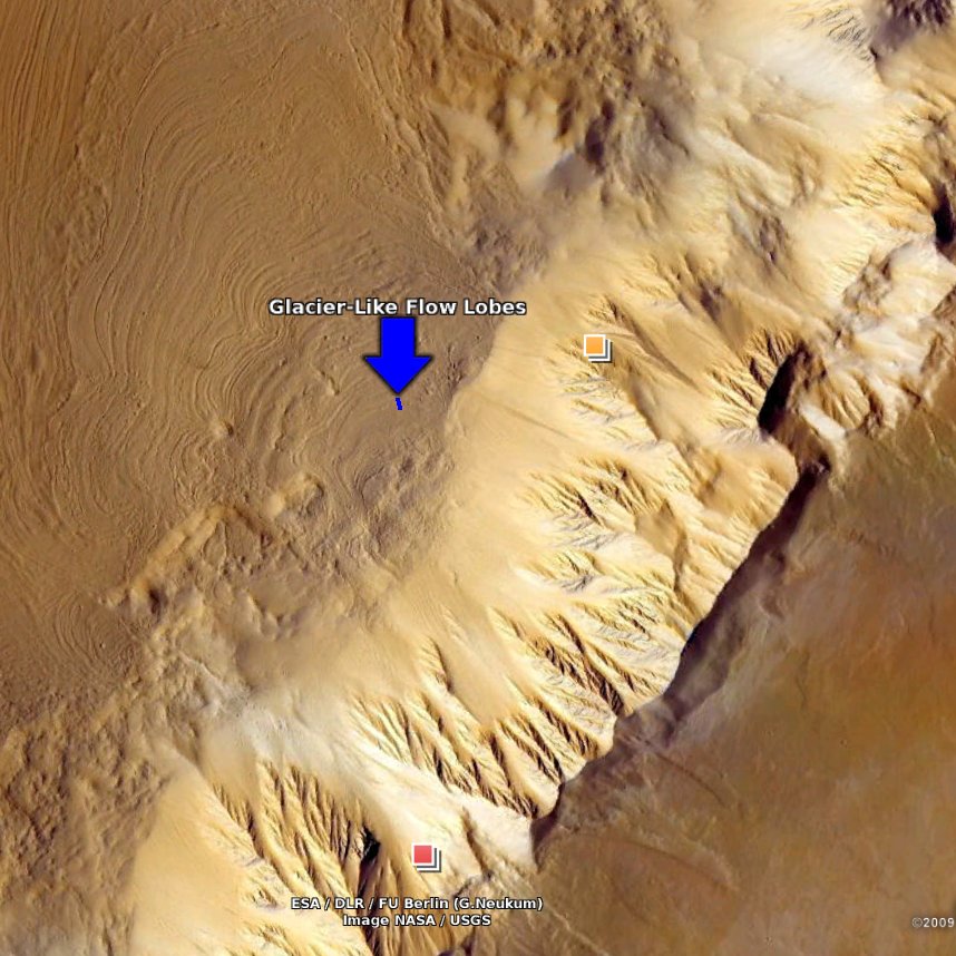
“The updates are from the High Resolution Stereo Camera aboard the European Space Agency's Mars Express orbiter. With these updates, nearly half of the martian surface is covered by imagery having a nominal resolution of 25 meters per pixel. As such, there are many exciting, newly-visible surface features to see,” Eric Kolb, a Googler with a very nice sounding title, geo data strategist, wrote.
You can see the new data either in the embedded Google Earth gadget, if you're on Windows or Mac, as there isn't an Earth plugin for Linux yet, or you can download the KML file provided and view it in the desktop version of Google Earth. The new images are highlighted with a red frame while the 3D terrain data updated is marked with a white frame.
Along with the higher quality images, Google further added some new, interesting locations which are also marked using colored arrows. New places include layered deposits on the floor of the Herbes Chasma, indicated by the red arrow, lava flows from the Tharsis volcanoes Ascraeus and Pavonis Mons, the white arrow, some new images of Olympus Mons' Aureole, the blue arrow. There are also some spectacular images of an enormous landslide in the Shalabanta Valles, the yellow arrow, which pushed debris over a huge area, the size of Chicago, Google says. Finally, some ice and dust layers in the planet's north polar plateau, Planum Boreum.