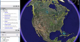
The downloadable mapping tool Google Earth is about to receive some fresh high-resolution photos as DigitalGlobe, one of the main providers of satellite imagery, will launch a new satellite today. WorldView-1 is scheduled to be launched on September 18, 11:35 AM PDT, the entire event being accessible live on the Internet. According to DigitalGlobe, the new satellite will capture photos from approximately 750,000 square kilometers. Moreover, the company plans to launch a second satellite in 2008 in order to capture more photos and present it to the interested consumers.
"This is an exciting event for not only the companies involved with the launch, but also the growing number of consumers and businesspeople using satellite imagery in their daily lives," said Jill Smith, CEO of DigitalGlobe. "We're pleased to share this experience through the live video webcast."
Google Earth is already one of the main solutions when it comes to satellite imagery and photos from every corner of the world but, as PC World reports, "the new satellite will also provide far more accurate data, including the ability to pinpoint objects on the Earth at three to 7.5 meters, or 10 to 25 feet."
"This is a momentous milestone that brings us one step closer to the launch of our next-generation satellite system. The addition of WorldView-1 and WorldView-2 in the coming months will bring the total number of satellites DigitalGlobe has in orbit to three, completing a constellation of spacecraft that will offer the highest collection capacity, more than 1 million square kilometers per day," the company's representative said when the official date of the satellite launch was announced.
If you want to download the latest version of Google Earth (the one which includes Sky and the Flight Simulator) straight from Softpedia using this link.

 14 DAY TRIAL //