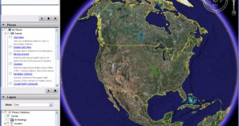
Google Earth tends to become more powerful day by day. Every week, the Mountain View company introduces new features, functions or other goodies that make Google Earth more powerful. A few weeks ago, the search giant implemented Sky in Google Earth, a revolutionary function that provides one click access to impressive maps with stars and galaxies. But Google Earth has always been a very attractive program especially because it served as the main tool for numerous purposes.
When Google released it, the Mountain View company said that Google Earth is a very useful application that provides satellite imagery for every corner of the world. As time passed by, Google's mapping tool evolved a lot and became very popular in numerous domains.
For example, Google Earth is used by a lot of researchers to track the volcanoes' activity in numerous regions of the world. In addition, Google Earth was also used after the hurricane Katrina invaded New Orleans in order to find the victims of the tragedy and to show the damages.
But there's also a bad side of Google Earth and it was revealed several times. Some time ago, the terrorists were using the Google downloadable application to attack the UK troops located in Basra. At that time, the Mountain View company replaced the imagery with older ones, captured before the departure of the army in the area.
Recently, a similar case was reported but this time, it involved the JFK International Airport. Numerous terrorists were using Google's program to obtain valuable information about the airport. However, the authorities managed to stop the attempt and to arrest the terrorists before anything dangerous happened. Google blurred the images in order to avoid future problems that might affect everyone's security.
Obviously, if you want to download Google Earth, you can find the latest version straight on Softpedia.

 14 DAY TRIAL //