Google Earth is a downloadable application provided by the search giant Google that allows you to view detailed satellite maps and other images with places from all around the world. The product can be very useful in many cases but sometimes, Google Earth causes serious problems. Recently, UK authorities sustained that terrorists are using photographs captured using Google's product to attack UK military troops located in Basra. The search giant reacted immediately and replaced certain images with pictures taken in the year 2002 when the UK army was not in the region.
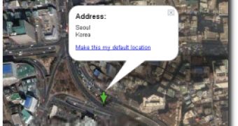
Today, Donga online publication published an article on the official website to announce that Google Earth is now revealing detailed images with anti-aircraft missile position located in the north of the Seoul metropolitan area. The news service also mentioned that the photographs captured using Google Earth were so detailed that allowed viewers to see even the number of the missiles stored in the area.
"In the satellite service provided by U.S. search portal "Google," a closely-taken photo of an anti-aircraft missile position of Korea's air force is posted. Since the photo is showing part of the key defense networks of Seoul and the metropolitan area against North Korea, they are raising a security issue. The ground-to-air missiles currently deployed in the air defense position are intended to deter North Korean aircraft that could raid Seoul and the metropolitan area in case of an emergency," Donga said.
It's obvious that the location of the military troops is a military secret, so Google will probably remove the images soon. Although no Google representative offered an official statement on the security issue or even a confirmation of the rumor that sustains Google Earth reveals anti-aircraft missiles' position, I am expecting a similar decision to the one taken in the UK army case.

 14 DAY TRIAL //