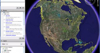
Google Earth is a very useful application that offers satellite maps with the entire world allowing the viewers to enjoy every corner of the planet straight from their desktop. Obviously, Google Earth has millions of fans hungry for pictures so it's very important to update the product continuously in order to satisfy their requirements. I heard many people asking if Google Earth provides real-time pictures because they want to see only updated pictures. Well, I feel sorry to disappoint you but Google Earth doesn't provide real-time photos because it would be quite difficult to capture the pictures and then implement them into the application.
"Google Earth is like a highly detailed map that provides geographic context for users. The information in Google Earth is collected over time and is not "real time" in nature. For example, it's not possible to see real time changes in images," the Mountain View company mentioned.
Moreover, some of the pictures might be even three years old as the search giant updates the technology every once in a while with new imagery. "Google Earth acquires the best imagery available, most of which is approximately one to three years old. We add data to our Primary Database on a regular basis. You can view a list of these additions on the following Google Earth Community page," Google added.
As you surely know, Google wants to make Earth the best solution in its category and it struggles to capture only high-resolution and detailed pictures with the entire planet. Take the example of Australia. On the Australian Day, January 26, the Mountain View company announced a special campaign that invited Sydney residents to create banners and messages to appear on Google Maps. The main goal of this program was to capture high-quality photos to be inserted in Google Earth.

 14 DAY TRIAL //