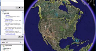
Yesterday, it was Washington. Today, it is Korea. If you don't know what I am talking about, let me present you the whole story. Google Earth shows detailed satellite images from every corner of the world. Because of this, numerous countries demanded the Mountain View company to remove certain photos in order to hide sensitive locations from the public eyes. According to the reports, numerous photos showing Washington were made blurry in a move meant to protect the US from other malicious uses of the Google mapping tool. Today, it is Korea's turn to request the removal of several pictures as they show a little bit too many photos from the country.
The Digital Chosunilbo reports that Google is currently in talks with the Korean government to choose the locations that will be banned in Google Earth some of the areas being related to the presidential residence Cheong Wa Dae and the National Intelligence Service. Also, it seems like Google Earth will hide numerous military bases as well as other security organizations located in Korea.
"Google Korea said on Sunday that it is in talks with a government agency about security measures in regards to the exposure of national security facilities in satellite photos provided by Google Earth. A source at Google Korea said that Google's policy is to show original materials as they are, but, given Korea's current situation, the satellite map provider will fully incorporate the Korean government's demands when it starts its Korean satellite photo service in the future," Digital Chosunilbo wrote today.
In the past, Google Earth was the main terrorist tool for several attacks such as the Basra assault when those dangerous people targeted the UK army. At that time, the Mountain View company replaced the photos with older ones captured before the departure of the army in the area. Recently, it was reported that terrorists were using Google Earth to attack the JFK International Airport.

 14 DAY TRIAL //