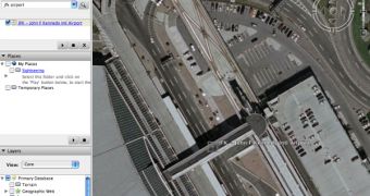
Following the recent improvements made to the mapping tool Google Earth, the US authorities are again raising security concerns over the high-resolution photos displayed by the application. Although the authorities from several countries complain that Google Earth shows their private locations, and despite Google removing them quickly, numerous officials are again questioning the security of the program. According to MSNBC, Lt. Gen. David Deptula, the head of the US Air Force, said that Google Earth is at least dangerous for all of us because it shows way too many details about the world.
"To talk about danger is, if I may, really is irrelevant because it's there. No one's going to undo commercial satellite imagery. It is huge. It's something that was a closely guarded secret not that long ago and now everybody's got access to it," he said according to the same source.
As you probably know, Google Earth is one of the most powerful downloadable mapping tools, allowing the users to view high-resolution photos with the entire world. The zoom-level is absolutely impressive and shows detailed imagery with several locations from all over the world and best of all, it's free.
It's not the first time when the Google mapping tool is brought in the spotlight because it shows more details than it should be allowed to. In the past, it was reported that the terrorists were using Google Earth to organize attacks against the UK troops located in Basra. Because the danger was increasing, Google decided to replace the imagery with older pictures captured before the departure of the army in the area.
Recently, it was reported that other terrorists were using the Google mapping utility to attack the JFK International Airport. Although their attempt was discovered before it happened, the Google application again raised security concerns as it shows a lot of details that could be used by people with malicious intentions.

 14 DAY TRIAL //