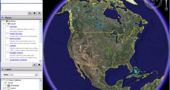
The famous downloadable mapping tool Google Earth is now censoring the centre of Sydney but the official reason provided by the search giant might not be true. The business center of Sydney was recently replaced with older images but the reason for this censorship varies between two ideas: Google says it has removed the high-resolution photos due to a problem with one of the image providers while the Internet publications are talking about the upcoming Asia-Pacific Economic Co-operation summit to be held in Sydney. Following the recent reports that revealed Google Earth can be a useful terrorist tool, Google and the local authorities decided to ban some areas in order to avoid potential threats.
Back in January, the Mountain View headquartered company started an interesting campaign to bring new high-resolution photos to Google Maps and Google Earth: it invited the country's residents to create huge banners to appear on Google's mapping tools because the search giant wanted to fly over the city and capture images. However, Google didn't receive the approval to fly at such a low altitude and the entire program was canceled. However, Google inserted very detailed photos for Sydney that were recently replaced with older pictures for an unclear reason.
The Sydney Morning Herald reported that the previous photos allowed viewers to zoom to about 25m above the earth while the new images are offering only 300m meters. The older photos were published only for the business center of the city while the suburbs remained unchanged from the last Google update.
"This has absolutely nothing whatsoever to do with APEC. We're re-sourcing our imagery for parts of Sydney as a result of a commercial issue with one of our suppliers, so some of the highest-res images have been temporarily replaced," Rob Shilkin, spokesman for Google Australia, said for The Sydney Morning Herald.

 14 DAY TRIAL //