 14 DAY TRIAL //
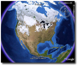
 Google Earth is the innovative software solution provided by Google that allows you to view images captured from the satellite. All you need is a simple internet connection that will download real-time maps and will display them to you directly in the program. Google tried to improve the application very often adding more and more features meant to make the program even more powerful. Since the release of the 3.0 version, Google Earth remained in beta stages because the search giant wanted to develop an improved version of the product.
Yesterday, Google released the final version of the solution, adding new features that will improve the experience of the Earth navigation. The company didn't provide any changelog for the new version but mentioned on the official page some of the most important improvements included in Google Earth 4.0.
"Seeing 3D terrain and buildings is one of the coolest features of Google Earth. We've added higher-quality terrain data for many mountainous regions, as well as support for "textured" 3D buildings-meaning bricks look like real bricks, glass looks like real glass, and overall, the world looks more like the real world. It's just one more step on the path of creating a life-like 3D model of the whole planet," Google said.
Google Earth is also improved with better tools that are meant to improve users' navigation on the virtual earth, new data layers for toggling on or off being now available. Today, Google employees also announced that users can create 3d models of any building, city or state and send it to the company to be included in the features of the application. Google Earth was also tested by Softpedia and it is available as a free download HERE.