 14 DAY TRIAL //
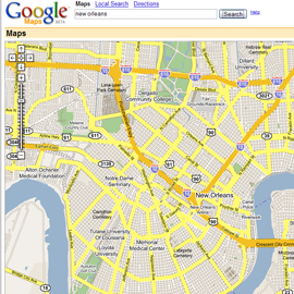
 Satellite imagery of New Orleans taken on Wednesday, August 31st is now available on Google Maps.
Enter "New Orleans" in the search field at the top of the page, or drag and zoom the map to the area. A red "Katrina" button will appear at the top right of the map, next to the existing map buttons.
Older images for the area are still available too - click the "Satellite" button to switch to those.
API developers can also access this new imagery, which should aid the development of hurricane relief sites. Find more details at the Google Maps API discussion group.